


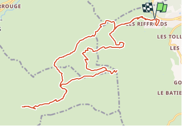
Croix de Colomban par la Pointe de Beauregard

norbertmarteau
User

Length
15.7 km

Max alt
1691 m

Uphill gradient
836 m
Km-Effort
27 km

Min alt
1033 m

Downhill gradient
834 m
Boucle
Yes
Creation date :
2024-07-23 07:43:13.759
Updated on :
2024-07-26 07:11:02.878
6h06
Difficulty : Very difficult

FREE GPS app for hiking
 SityTrail
IGN / Geographical institutes
SityTrail Plus
The world is yours!
About
Trail Walking of 15.7 km to be discovered at Auvergne-Rhône-Alpes, Upper Savoy, La Clusaz. This trail is proposed by norbertmarteau.
Description
Départ de la Clusaz
Positioning
Country:
France
Region :
Auvergne-Rhône-Alpes
Department/Province :
Upper Savoy
Municipality :
La Clusaz
Location:
Unknown
Start:(Dec)
Start:(UTM)
299905 ; 5086860 (32T) N.
Comments